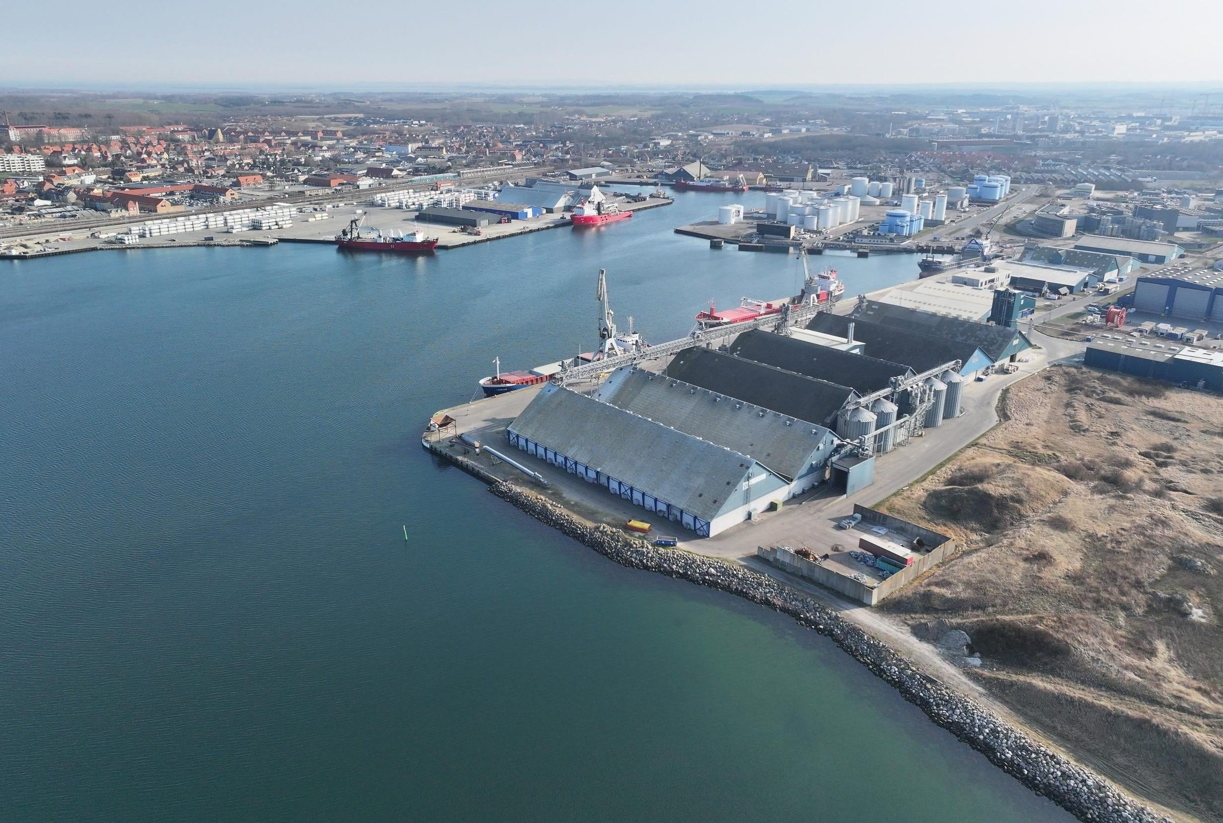
Kalundborg Port is located at the bottom of Kalundborg Fjord – with direct access to the Great Belt. At the entrance to the fjord the T-route passes, one of the world's busiest shipping routes. All major ship traffic on its way in or out of the Baltic Sea sails past here.
Maximum size for ships:
When sailing in the Inner Port:
Length 300 m, width 35 m and draft 9.6 m
Length 240 m, width 35 m and draft 11.6 m
When sailing in the Outer Port:
Length 500 m and draft max. 10.4 m
Length 300 m and draft between 10.4 and 14.4 m
Water level
The difference between mean high tide and mean low tide is 0.4 m. A northwestern storm can cause up to 1.3 m of high tide and a southeastern storm up to 0.9 m of low tide.
Speed limit
Maximum 5 knots or lowest possible steering speed if this is above 5 knots.
Port area
The port's sea area is limited by:
- Towards W: A north-south line between 55º40.73´N 11º04.80´E and 55º40.165´N 11º04.80´E.
- Towards N and E: The port's bulwarks and coastline.
- Towards S: The port bulwark and from the Port of Kalundborg, the northwest corner of pier 17 (Statoil pier E), parallel to the Statoil main pier at a distance of 130 m to 55º40.165´N 11º04.80´E.
Special provisions
The Port of Kalundborg encourages all ships in the port area to contribute to ensuring the passage of ships past each other.
Ships equipped with VHF should establish a listening watch on VHF, channel 16, while sailing to and from port facilities between the Port of Kalundborg area and Asnæs NW-Flake.
During navigation, ships over 100 GRT should report on VHF, channel 16, their incoming passage at Asnæs NW-Flake or their outgoing passage immediately after departing from the quay.
The Danish Maritime Authority's BEK. no. 1316, Executive Order on navigation etc. in certain Danish waters, applies to all navigation within the port area, except for §14, which states that the outgoing ship must wait for the incoming ship. This means that outgoing ships do not have to wait for the incoming ships in the Port of Kalundborg's area.
Do you have questions about sailing in Kalundborg Harbour?
Contact the operations on (+45) 59 53 40 00 or email: ops@kalundborghavn.dk